




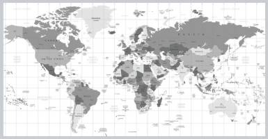
Grayscale World map detailed vector illustration. Names, town marks and national borders are in separate layers.

test test/741.88K
images
Grayscale World map detailed vector illustration. Names, town marks and national borders are in separate layers.
-
Image type EPS
-
Published -
-
Views 4
-
Downloads 0
|
$0.00 USD
Share
Related Photos
-
building logo design inspiration vector  test test
0
-
Tropical island landscape luxury beach villas bungalows palm trees ocean lagoon sandy shore. Stunning summer travel vacation background Maldives resort exclusive destination private paradise
test test
0
-
Modern city traffic and digital technology concept. ITS (Intelligent Transport Systems). Mobility as a service. Vertical visual for advertisements and banners.
test test
0
-
Driving at high speed through the streets timelapse drivelapse hyperlapse. View from side of car with slider movement at night city road
test test
0
-
High-quality marble porcelain tile textures with natural veining, elegant patterns, and realistic details. Ideal for flooring, walls, and luxury interiors, perfect for architectural and 3D design.
test test
0
-
Argentina Map Silhouette. Postal Passport Stamp Round Vector Icon Seal Badge.
test test
0
-
London England Stamp. Telephone Silhouette Seal. Round Design. Vector Icon. Design Retro Insignia.
test test
0
-
Panoramic view of West Terrace of Mount Nemrut at sunset. Visit Turkey background photo. Adiyaman Turkey - 7.2.2025
test test
0
Give Thanks!
Give thanks to @alitest for sharing this photo, the easiest way, sharing on social network